Birtara Union
Birtara Union (Bengali: বীরতারা ইউনিয়ন) is a union of Dhanbari Upazila, Tangail District, Bangladesh. It is situated 66 km north of Tangail. Birtara Union Code - 1238.
Birtara Union
বীরতারা ইউনিয়ন 1238 | |
|---|---|
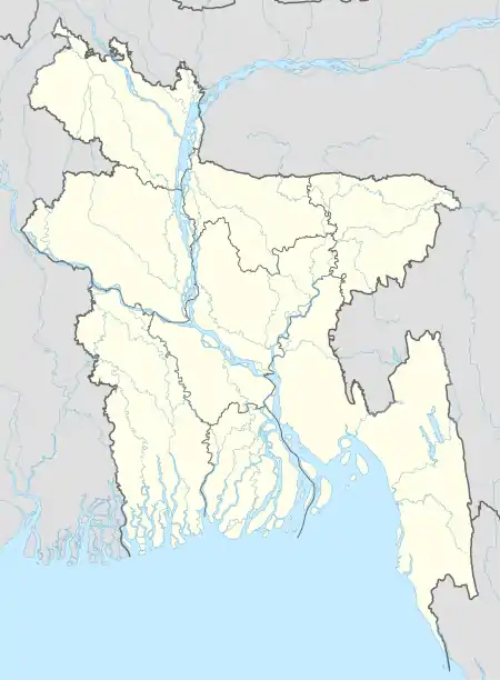  Birtara Union Location of Birtara in Bangladesh | |
| Coordinates: 24.7057°N 89.9063°E | |
| Country | Bangladesh |
| Division | Dhaka Division |
| District | Tangail District |
| Upazila | Dhanbari Upazila |
| Established on | 1984 |
| Government | |
| • Type | Union Council |
| • Chairman | Ahammad Al Farid(Bangladesh Awami League) [1] |
| Area | |
| • Total | 13.21 km2 (5.10 sq mi) |
| Elevation | 17 m (56 ft) |
| Population (2011) | |
| • Total | 18,481 |
| • Density | 1,400/km2 (3,600/sq mi) |
| Time zone | UTC+6 (BST) |
| Postal code | 1997 |
| Website | birtaraup |
Last Updated by rafi sat,mar26 2022
Gallery
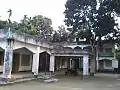 Union Complex
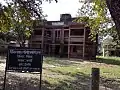 Union health Complex
Demographics
According to Population Census 2011 performed by Bangladesh Bureau of Statistics, The total population of Birtara union is 18481. There are 4849 households in total.[2]
Education
There are two secondary schools in the union: Bajitpur Amir Hossain High School and Kendua High School.[3]
The literacy rate of Birtara Union is 39.9% (Male-42.7%, Female-37.3%).[4]
See also
- Birtara
- Balasoti
- Rajarhat
- Kathaliabari
- Kendua Bazar
- Kadamtali
- Patadoho
- Bajitpur
- Union Councils of Tangail District
References
- http://www.newspapers71.com/167989/%E0%A6%A7%E0%A6%A8%E0%A6%AC%E0%A6%BE%E0%A7%9C%E0%A6%BF%E0%A6%A4%E0%A7%87%20%E0%A6%86.%E0%A6%B2%E0%A7%80%E0%A6%97%20%E0%A7%AA%2C%20%E0%A6%AC%E0%A6%BF%E0%A6%A6%E0%A7%8D%E0%A6%B0%E0%A7%8B%E0%A6%B9%E0%A7%80%20%E0%A7%A9%20%E0%A6%9C%E0%A7%9F%E0%A7%80
- "Tangail Table C-01 : Area, Households, Population, Density by Residence and Community" (PDF). bbs.gov.bd. Archived from the original (PDF) on 2014-11-13. Retrieved 2016-03-01.
- "List of Secondary Schools" (PDF). Department of Secondary and Higher Education. Retrieved 12 November 2021.
- "Tangail : C06 : Distribution of Population aged 7 years and above by Literacy, Sex, Residence and Community" (PDF). bbs.gov.bd. Archived from the original (PDF) on 2014-11-13. Retrieved 2016-02-25.
This article is issued from Wikipedia. The text is licensed under Creative Commons - Attribution - Sharealike. Additional terms may apply for the media files.